History
Early Years
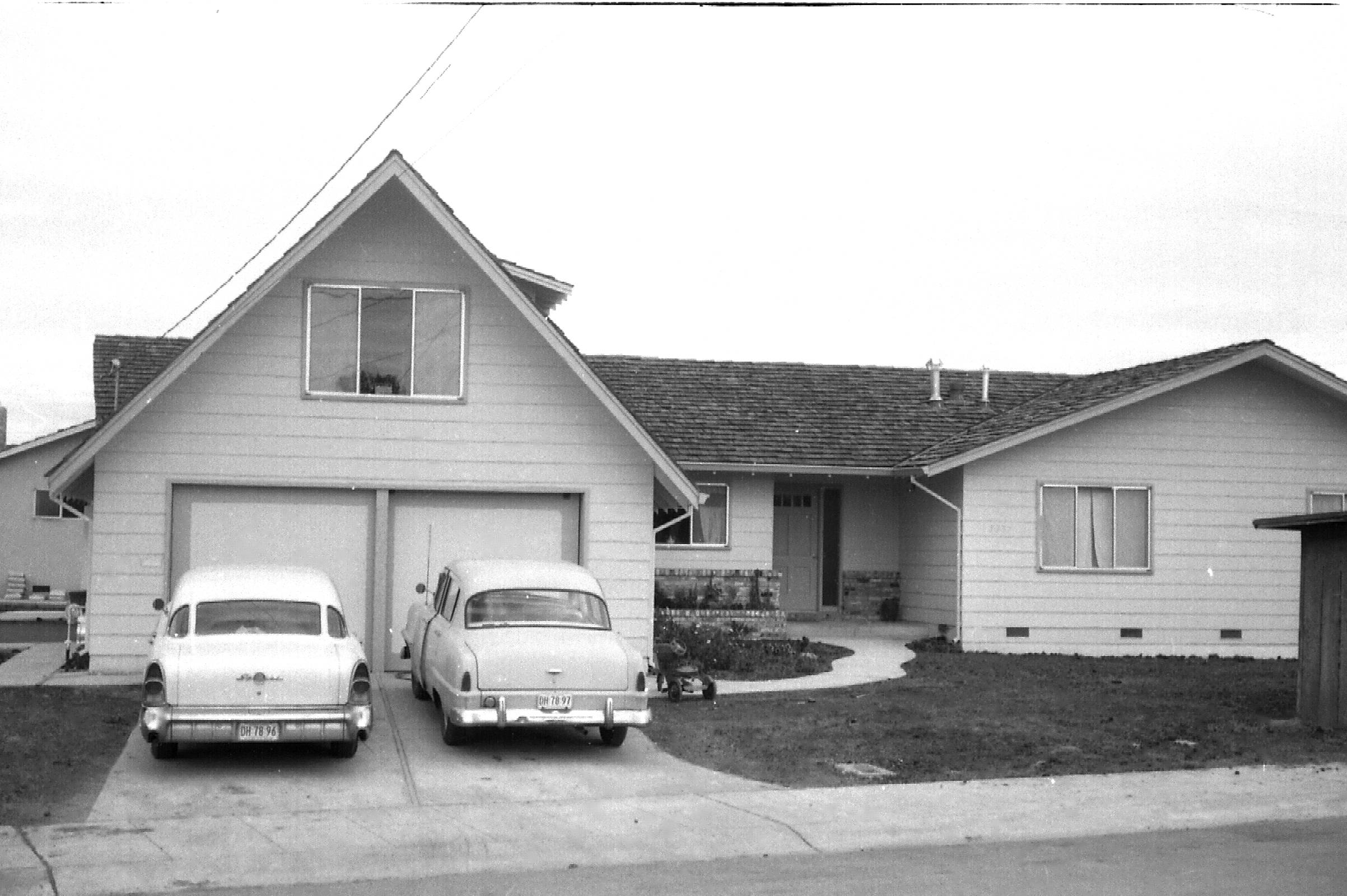
The Adobe Meadow neighborhood was a site of rural half-acre lots off Middlefield Road in the late 1940s. It was located in the unincorporated farmland between Palo Alto and Mountain View at a time when the residents along Charleston and the south end of Grove Avenue crossed bridges to the Piers Dairy on Louis Road. Grove Avenue, Mayview Avenue and Ross Road were dirt roads where custom homes were built on corner lots. The first homes had wells for drinking water, since municipal services had not yet reached south of Palo Alto.
One of the earliest residents was Bea Ellis on Grove Avenue, who worked for many years as a school cook. She remembers when the Corina Way and Nathan Way blocks were a carrot field, and fig trees and other fruit trees populated the back lots in mini-farms. Some of the fig trees and wells still survive.
Neighborhood Development 1950s - 2000s
Paul Berry remembers a December 1955 rain that created a lake in the area east of Middlefield Road so the dairy cows there were standing knee-deep in water. That Spring, Eichler, Brown & Kaufman and Mackay began building homes on that dairy site.
The Brown & Kaufman development along Louis Road north of the new Adobe Creek flood channel was built in the mid-1950s, when Charleston Road was widened. Ortega School and Ramos Park were built to serve the burgeoning population of school children.
In the 1950s, as Philco built its plant at Fabian Way and as the streets were paved and widened, the street level was lowered along Grove Avenue, leaving an incline up to the creek and clipping front yards along Ross Road and East Meadow.
City-owned trees were integrated into the front lawns on Grove Avenue rather than planted at the curb. The trees along the 3700 block of Grove Avenue were removed and replanted in the early 1970s, while the trees in the 3800 block of Grove Avenue have survived for over fifty years.
One standalone garage dating from the late forties has been grandfathered into the neighborhood as a mother-in-law cottage; it was fully remodeled and modernized in the early 2000s.
From the late 1950s into the 1970s, the half-acre lots along Grove Avenue, Mayview Avenue and Ross Road were split, eventually leading to nearly-hidden flag lots behind every home. In 1956, a contractor created a cul de sac called Grove Court next to the Adobe Creek Channel. He and six friends built homes there - each with a room over the garage.
In the mid-1960s, May Court was fully developed and later the first solar-powered home was added to the neighborhood.
Two World War II vintage Quonset huts originally lined Middlefield adjacent the Adobe Creek channel, housing a ballet studio and an auto repair garage. In the 1980s, after the City forced their removal and closure, the lots were developed as residences.
In the mid-1980s Ortega Court was added to the neighborhood. It was named after Ortega Elementary School which operated on the site until 1976. After the school closed, it served as the home of the Jewish Community Center until 1983. At that time, the school district sold the site and several other school properties in the face of drastically reduced enrollment. Ramos Park was expanded with a strip of open field and the remaining land was sold for homes.
Grove Avenue held block parties starting in the early 1980s. The Grove Avenue block party was eventually subsumed into the annual Mitchell Park Chili Cookoff on July 4. Corina Way started block parties in the mid 1990s, and Arthur Keller, one of the early AMNA organizers, helped morph the Corina event into a neighborhood association, joining the neighboring blocks in 2005.
Getting Around the Neighborhood
Traffic has long been a concern of the neighborhood. Early on, the city created a four-way stop at Ross and East Meadow. In 2017, Ross Road was upgraded to a bike boulevard, and a traffic circle installed at East Meadow and Ross Road. Stop signs were added on East Meadow soon thereafter to avoid the confusion of a yield to those in the traffic circle.
In 2003, two industrial sites on East Meadow Circle were redeveloped as high-density town homes. Prior to that time, traffic lights with turning lanes were installed at the corner of East Meadow and Middlefield, and traffic guards were hired, all in anticipation of increased traffic and in recognition that school children cross Middlefield to Fairmeadow Elementary School, JLS Middle School, and Gunn High School.
A bicycle and pedestrian bridge over 101 just south of Adobe Creek opened in 2021 replacing the Lefkowitz tunnel. A protected left turn from Louis Road onto East Charleston Road is aided by a traffic light installed in 2022.
Future Projects
A long-range plan is to enable turns from San Antonio Road onto US 101 South and to close the entrance to US 101 South from East Charleston Road in Mountain View. This change would create a longer on-ramp to US 101 South running from San Antonio Rd entrance to N Rengstorff Rd. exit.
Other Plans
The neighborhood was studied for removal from the flood zone, but the feasibility study to develop the best plan determined that the cost was too high for the benefit. Part of the reason is that a replacement tide gate is being installed in the next few years. This project is called the South San Francisco Bay Shoreline Phase II.
- South San Francisco Bay Shoreline Phase II Feasibility Study
- SAFER Bay Project
- South San Francisco Bay Shoreline Phase II Investigations